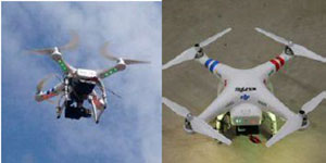
MAPSs is a novel low cost method of producing a range of Geo, GIS & 3D interactive mapping products through the use of a pilotless unmanned aerial vehicle (drone), coupled with the latest photogrammetric technology.
The MAPSs system consists of the provision of a drone along with full instructions and recommendations regarding the preparation for flight and the actual flying process. In addition the system comes with a training video and details of how to download the data for onward transmission to the MITTO Post-Processing Center.
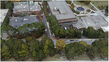
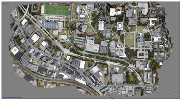
Data captured by the drone can be processed into a range of products:
- Aerial & Digital Terrain Maps
- 3D Point Clouds & 3D Meshes
- Real-time Interactive 3D VR Simulation Models
- Delivered with a full license of VR-Design Studio
 |