 |
|
 |
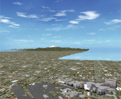
 Moving with fly-thorough of Mt. Fuji from Tokyo Moving with fly-thorough of Mt. Fuji from Tokyo |
|
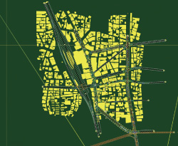
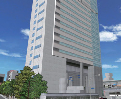
The Nakameguro GT Tower surrounding model is arranged for Tokyo.
The high accuracy model can be simulated in space. |
 |
|
 |
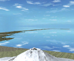
| Fly-through from Mt. Fuji towards Nagoya |
|
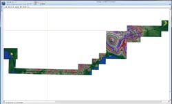
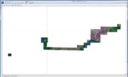
Plan View input window of Nakameguro surrounding model (Tokyo) |
 |
|
 |
| Moving to the center of Nagoya with fly-through without stress |
|
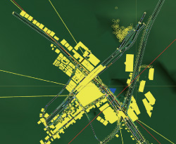
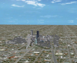
3DVR screen of the Nakameguro surrounding model (Tokyo) |
 |
|
 |
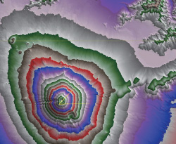
| Mt. Fuji is correctly arranged in the terrain data |
|
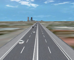
Generation of traffic stream. Traffic simulation
can be simulated same as UC-win/Road |
 |
|
 |
VR-Studio(R) representing the large scale space.
The space between Tokyo and Nagoya is modelled. |
|
Osaka is added to the data between Tokyo and Nagoya.
Terrain data can be freely set. |